Drag-and-drop forms
Standard fields and GPS fields: polygon, rectangle, marker.
GeoTrack Data is a geospatial survey platform: you create a campaign, agents collect data with GPS polygons, and the results are analyzed on interactive maps.
Paper questionnaires, manual re-entry, scattered files: field surveys are expensive and produce data that is hard to verify and rarely linked to a specific plot.
To decide on, fund or monitor a program, you need to know where each response comes from.
Standard fields and GPS fields: polygon, rectangle, marker.
Agents collect without a network; sync happens automatically when coverage returns.
Administrators, groups and agents, with data isolated by group.
Responses are displayed on interactive maps and dashboards.
CSV, Excel and PDF exports; API for agents' mobile apps.
For a geolocated response: climate (NASA POWER), soil (SoilGrids, ISRIC) and crop recommendations.
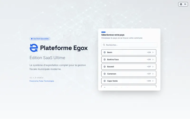
Municipal tax collection, traced from the agent to the cash desk, with an app for residents.
Learn more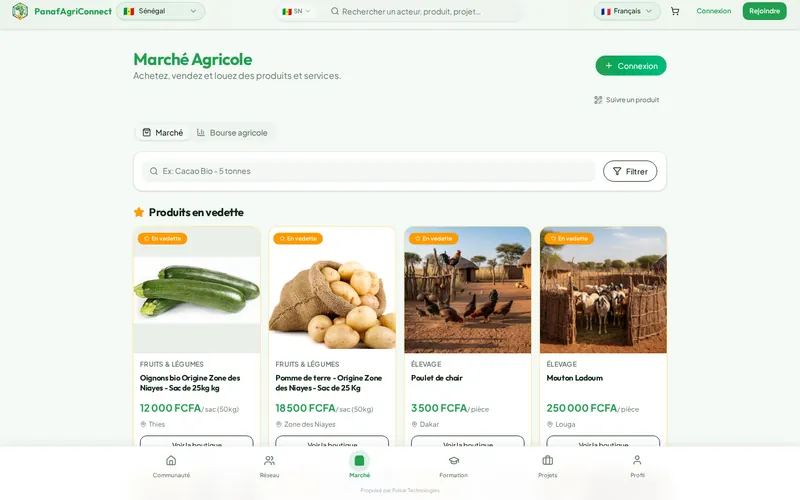
The social network and marketplace for African agricultural stakeholders, with market prices shown next to listings.
Learn more
The management app for micro, small and medium-sized enterprises: stock, sales, customers, invoicing and an online storefront.
Learn moreWe help you design the form and train your agents.